Jay and Karen's Adventures!

This is a blog we are using to share some pictures and stories of our trip to Ireland and Europe! We'll be here somewhere into April 2008 and look forward to sharing our travels! cheers!

My Photo
Name:
Location: Dublin, Ireland

Wednesday, October 25, 2006

Bike Ride to Deer Park Golf Course

So I went for a ride last week up north of Dublin to a town called Howth and rode by a few golf courses on the way. Karen told me a friend at work had heard of the Deer Park Golf Course up there and that it was pretty affordable.

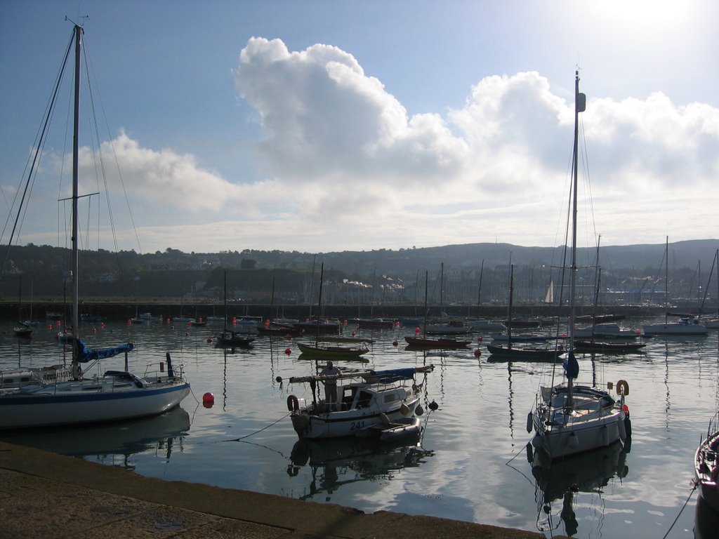
I looked on-line and found it was €1 per hole, had a great view of 
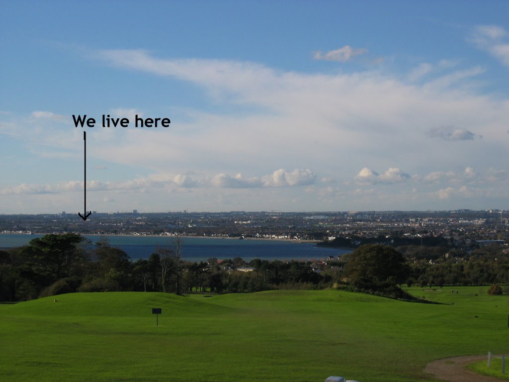
the Dublin Bay and rented clubs. They actually have about 36 holes on their grounds. There’s a pitch and put course and a full 18-hole course too. It’s only 11.5 miles from our place and when I woke up on Tuesday, the weather looked perfect! I was going to wait a little while before I took a day to ride up and play, but the weather forced me into it today.

It was a gorgeous day… it was sunny, about 50 degrees and only a little windy up on that part of Howth. It was perfect golf weather. I was really looking forward to getting out on the course!

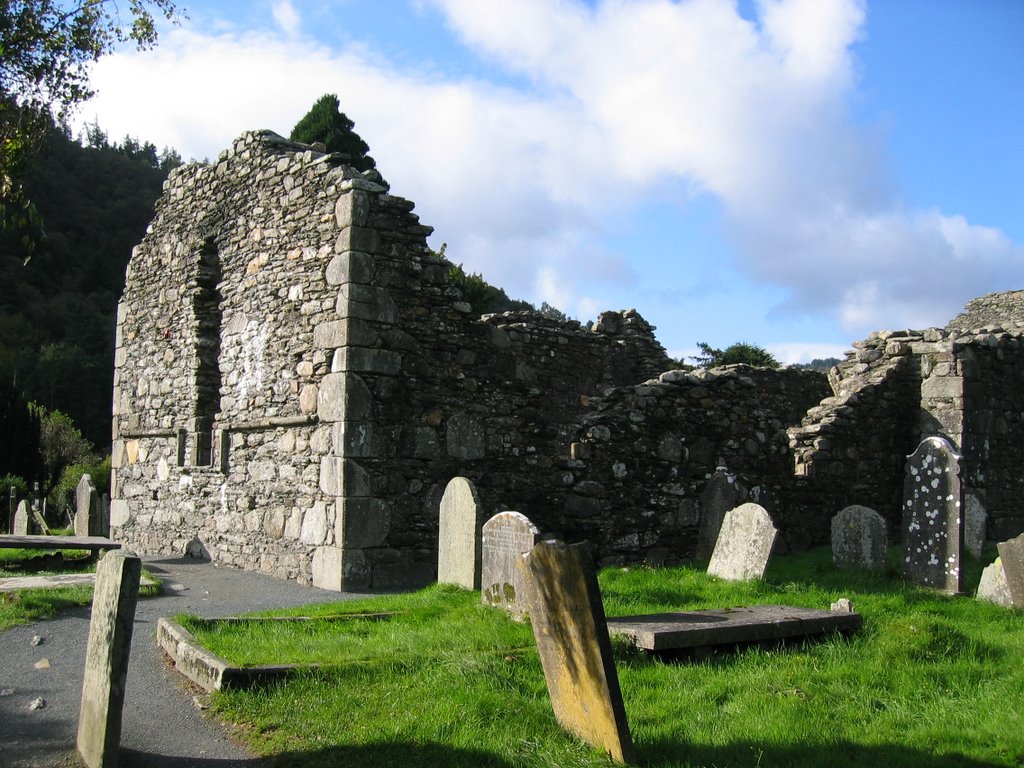
The ride up was uneventful. I left the house about 11 a.m. and got there about an hour later. It 
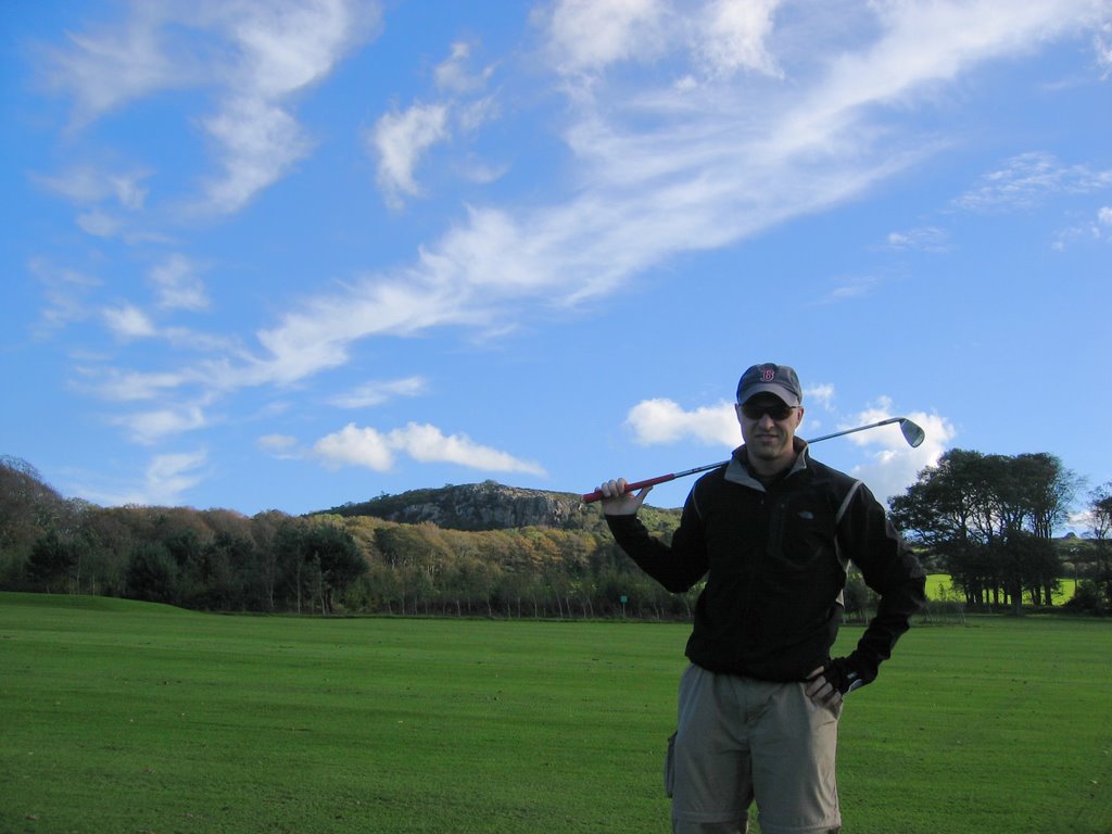
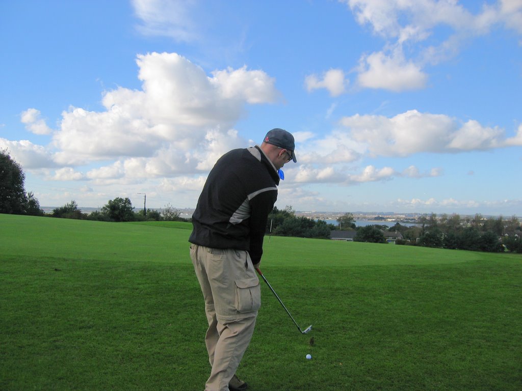
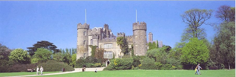
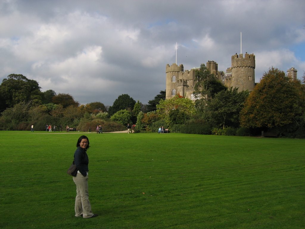
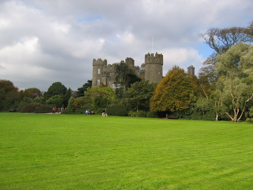
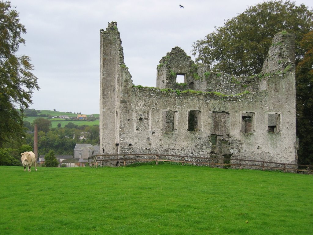
was awesome; I rode by the old castle/church on the course grounds, locked up my bike, changed shoes, rented my clubs and headed off to the first hole.

I was nervous on the first tee that I’d duff the ball or lose it OB someplace with clubs I’d never used before, so I took a 5 iron out of the bag to be conservative. I didn’t hit it too far, but it was right down the middle of the fairway. I thought it’d be easy enough to find that one!

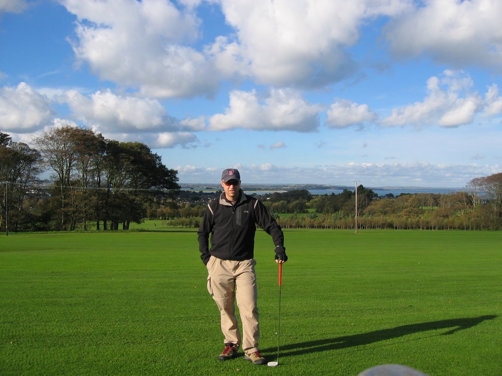
It was a great 9 holes. I wouldn’t have minded being paired up with a few other guys, but the course was pretty empty so I went out by myself. That actually let me strap my camera on the pull cart and snap a few pictures without feeling too self-conscious.

I would have played a full 18 holes but I didn’t get there early enough in the day. I was done by 3 p.m. and home safe a little after 4 p.m.

I look forward to the weekends the most, that’s when Karen and I get to jump in the car and go exploring around Ireland. On the days when she’s working, I usually spend some time working on the toy shop website, clean up the house, do some laundry, walk to the grocery, etc. But today was a day I spent out having fun in Ireland by myself… it was my perfect day!

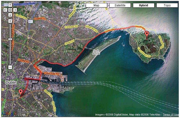
Here's a google map of the ride up to the course.

Friday, October 20, 2006

Bike Ride North of Dublin

So I finally got out for my second bike ride in Dublin today. I took one ride before this one, and had a pretty bad time! I was trying to find Phoenix Park just north of the Liffy to the West of City Center. The traffic patterns were awful, cars didn’t know there was a bike lane… it was a miserableride.

On today’s ride I tried to find the road on the north side of Dublin that ran along the water. One of our relocation people mentioned that it had a great bike path that was separated from the rest of the road. What a find! Look here how clear the separation is from the road. It’s not like this the whole way, but it’s far better than riding through the heart of Dublin.

I did have to ride carefully in some traffic to get north of the Liffy and out to the water. Once I got there the bike lanes were separated from traffic just as described and the ride was terrific. The weather was real cooperative too. The rain held off and it was only partly cloudy.

I found three golf courses on a small island that Karen mentioned one of was pretty affordable. I think the perfect day might start with a good breakfast, then a bike ride to the golf course, 18 holes of golf, then a ride home. I may try and make that happen sometime next week if the weather cooperates.

I got as far north as a town called Howth. I had lunch in a nice sandwich café right in front of a marina. Howth is really a quaint sea town with a quintessential marina sea-port feeling. The jetty that protects the marina was busy with tourists and offers great views of an island just off the coast. It was beautiful!

Here is a picture of my complete bike route today. I really got to see some great places north of Dublin.

I feel so amazingly lucky to be able to enjoy Ireland so much. This is such an incredible opportunity for us (especially incredible for me). Click here to see the full Ofoto album of today’s pictures (just click on view slideshow).

Saturday, October 14, 2006

Malahide Castle

We traveled North today about 45 minutes to see our first castle in Ireland. The Castle is located in the town of Malahide about 10 miles out of Dublin. This castle and the 250 acre grounds were owned and controlled by the Talbot family for 791 years, which is actually pretty amazing in spite of all the invaders that have come in and occupied Ireland. For one family to hold on to such a large property through all the occupying forces is really unusual.

They didn’t allow photography inside the castle, so my pictures are only of the outside. The interior pictures I gathered on the internet.

The oldest parts of Malahide castle were built in the 1100s and remain today in nearly the same condition as when they were built. This makes it quite unique in Ireland. Nearly all of the castles in Ireland today are in various states of disrepair. To see Malahide castle fully intact you can really see how the people lived when the castle was a working estate.

Some things are different today. For example, there were no glass windows initially. For defensive purposes, the windows were only narrow vertical openings from which arrows could be launched but would be hard to penetrate from the outside. They have been replaced with glass today for obvious functionality.

The Talbot family held the castle and its grounds from 1185 through 1976. There was only one break of Talbot control of the castle between 1649 and 1660. During this time Oliver Cromwell had a short conquest of Ireland. He gave control of the grounds to Miles Corbet following his short rule. In 1660 when the brief Cromwell rule ended the castle and grounds were restored to the Talbot family.

There is one beautiful completely oak paneled room, the Oak Room, with ornate biblical carvings along every wall. Above the fireplace in the Oak Room, there is a rare 16th century Flemish carving depicting the coronation of the Virgin. This carving was very important to the Talbot family. During the short years the castle was out of the Talbot control this carving disappeared. When the Talbots regained control of the castle, the carving miraculously reappeared.

There is a nice little tea room in the castle and a fancier restaurant just to the back of the castle. The tea room serves great sandwiches, soups, lasagna, coffees and pastry desserts. This was perfect for us.

We visited the castle on a Saturday morning and as we were driving in we saw teams of kids hurling. The grounds are used today for different hurling leagues and the sound of young kids running around was neat. It’s nice that the castle grounds have contemporary use.

The castle and grounds were sold to the Dublin City Council for preservation in 1976. Apparently the taxes became too much for the family to maintain so they sold it to be used to teach some of the history of Ireland.

Here is a link to the Malahide Castle website and here is a link to Malahide Castle on Wikipedia.

Sunday, October 08, 2006

Knowth Passage Tombs

We traveled about an hour north of Dublin after church today with Justin & Shawna into County Meath. We went to the Neolithic passage tombs in the valley of the River Boyne in Knowth. These are the oldest tombs in Western Europe dating back to about 3000 B.C. At the Knowth site there is one large super tomb mound measuring roughly 1 hectare (2.5 acres) in area surrounded by 17 smaller satellite tombs. The tomb perimeter is lined with 127 curbstones (very large carved megaliths). Of the original megaliths, 3 are missing and 4 are very badly damaged. A lot of artwork is actually carved on backs of the stones. This type of megalithic art is known as hidden art.

They don’t know the exact meaning of the two sided megalith art. It could be they simply wanted to recycle the large stones; others think there may have been some kind of spiritual significance to the people’s remains buried inside. Burial in the main center tomb was reserved for the highest social group… kings, rulers, high priests, etc. The decorative artifacts found in this tomb versus the 7 satellite tombs substantiate this theory.

The entrances on the East and West line up with the sun rise and set on the spring and summer equinoxes. This could show the worship of the sun or sun gods in some capacity. The entrances as they pertain to the uses of a tomb could represent the beginning of life with the rising sun and the ending of life with the setting sun. There were probably celebrations or ceremonies held here on the different equinoxes.

One of the megaliths probably represents the lunar calendar. I’ve tried to show the patterns carved into this stone, but I couldn’t reproduce everything that was on the stone. Our tour guide used this stone to show the potential lunar link. There are actually 29 circular objects carved in to the horizontal oval… could be the 29 days of the lunar calendar.

One of the really cool things our guide did was focus on just how much of what we know about this site is interpretive. There are no written records (aside from the megaliths) to tell us about the meaning and use of this place. At one rock we talked about how many seemingly accurate interpretations could be made on the same carvings.

The weather was a little rainy today. Justin & Shawna both brought rain jackets; Karen and I were under our umbrellas. The rest of the tour was semi-unprepared. It never really rained hard, just kept drizzling most of the day.

On the way home Justin saw this broken down stone structure on top of a hill just off the road. We drove up because it was close. This old structure was just across the street from a few houses and had these cows grazing out front. These old ruins are littered all over the place here. Gives the towns and countryside a sense of age and depth a little more profound than what we see back home in Jersey!

We do miss Hoboken, but we’re happy to be spending time in a place with a history MUCH older than ours!

Here is a link to Knowth on Wikipedia and here is a link to the official Knowth site.

Saturday, October 07, 2006

Our First Hike in Ireland

Our friends Justin and Shawna came to visit for a long weekend and wanted to see some of the Irish landscape. I was thrilled to have an excuse to go for a hike in Ireland! The drive took us on some pretty narrow roads. It seemed like there were close calls every time we passed an on coming car. Turns out that's just how close the road is!

We went to a place called Glendalough (translated from Irish it means valley of the two lakes). It's the largest glacier formed valley in Ireland. A few of our tour books said it was the most popular outdoors tourist attraction in the country.

The hike started at a monastic village with buildings from the 10th to the 13th centuries. It was also a cemetary with graves from the 1700s to 2004. We got some pictures of some really cool Celtic cross grave stones.

The oldest structure on the site is a small old cathedral built in the 10th century. Apparently there was a second addition built 200 years later in the 13th century. By the time the second addition was built, the Norms had invaded and brought a Roman architectural influence with them. You can tell by a Roman window in the later addition when there are hints of Roman architecture in the earlier structure.

The hike was probably 6 or 7 miles long. We walked along both lakes in the valley to an old quarry setting. I was expecting to see some wild life along the way. We had been walking a while then up on our right we say a dozen mountain goats. I knew we'd see something, I just didn't know what.

As we started to get out of the valley and began to reach the higher elevation of the valley the ground became more and more wet. Soon we found a set of what looked like railroad posts lashed together to serve as an elevated path. The posts were wrapped with chicken wire and held down with large nail/staples for added traction on the wood. They referred to this as the boardwalk. We were told it was an easy very safe hike if we stayed on this boardwark.

The views as we walked along the boardwalk became more and more incredible. As we were looking down on the two lakes we were looking at the views we saw on all the post cards from Glendalough. It was really a beautiful place.

Here is a link to the official Glendalough site and here is a link to Glendalough on Wikipedia.